
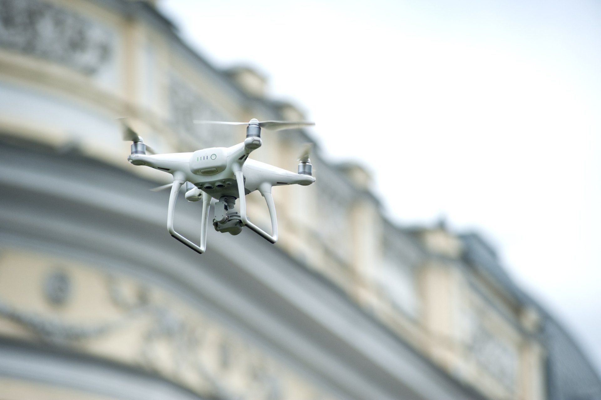
DRONE INSPECTION SERVICES | BELFAST

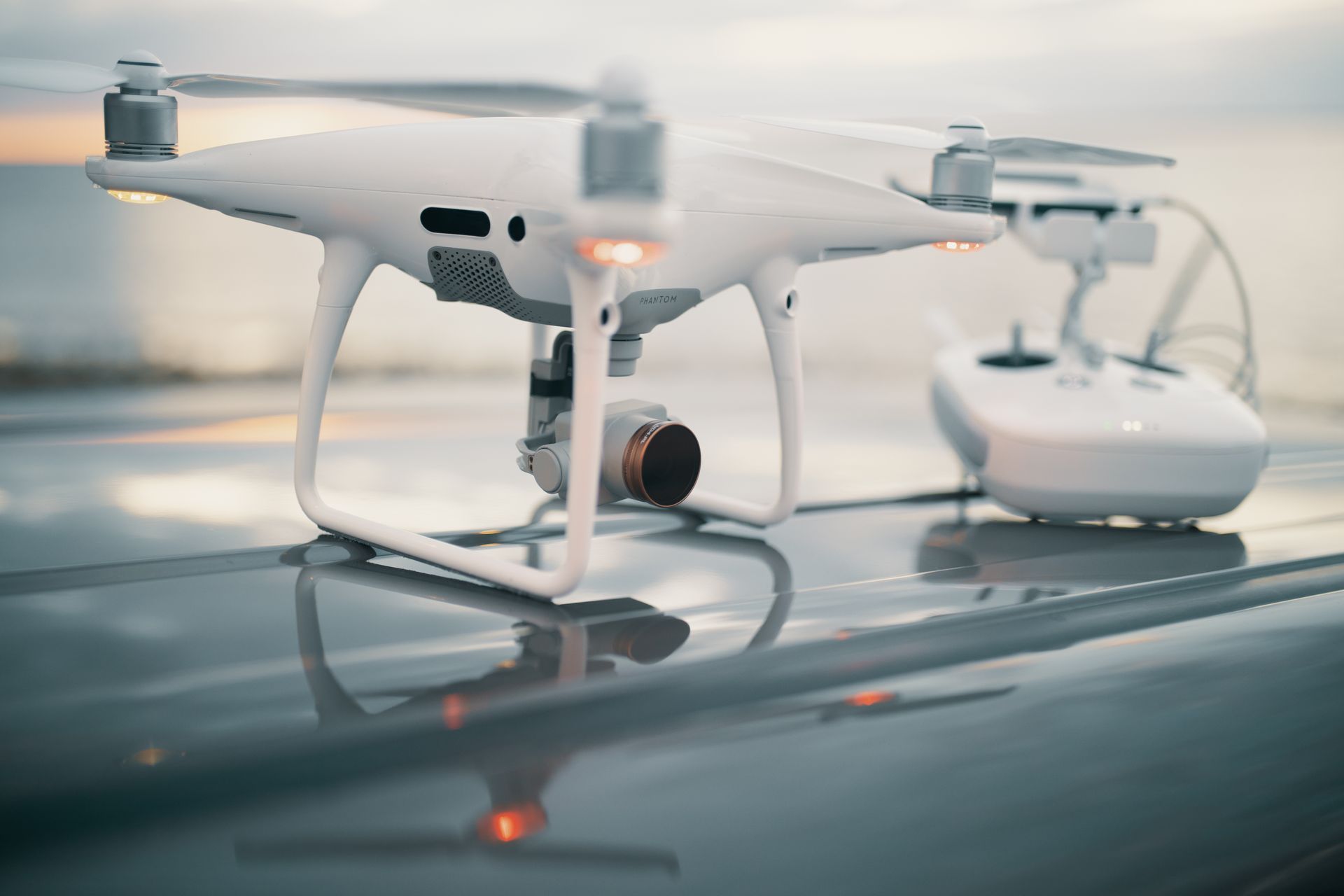
Drone photography services using the most advanced Internal and External commercial grade Aerial Drones to provide you the very best in UAV Inspection photography and videography with drone pilot accreditation issued by the UK Civil Aviation Authority. CAA compliant and insured for commercial UAV inspection operations.

Drones for Photography

UAV Drone Inspection

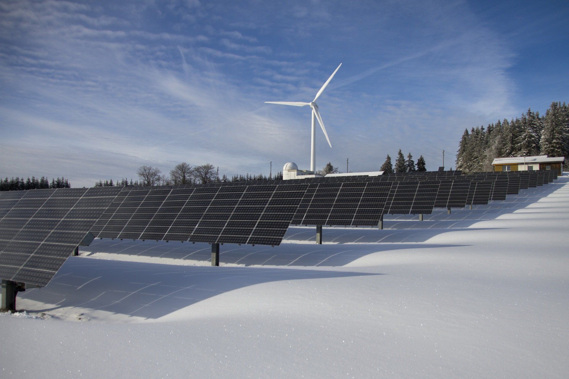
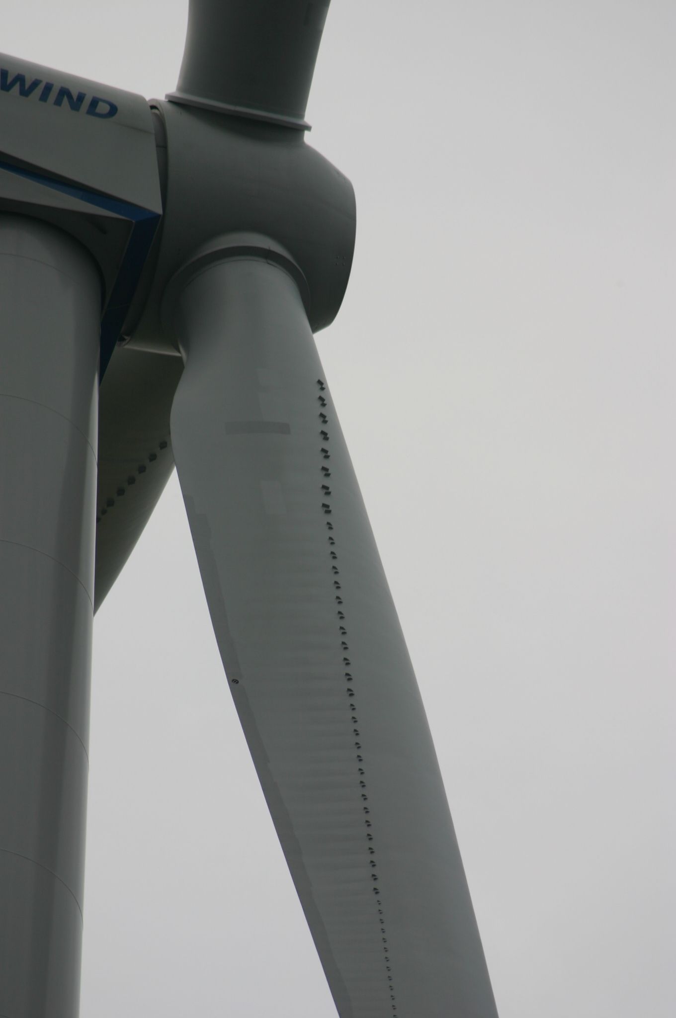
Drones have transformed the way that businesses work, increasing efficiencies, aiding rapid deployment and accurate data capture. Drones can complete an Aerial Inspection far quicker than manual methods and are less labour intensive. Using UAV's we can inspect one wind turbine in 15 to 30 minutes - reducing man-hours and turbine downtime for maintenance checks by over 75%.

Drone Mapping Surveys

Drone mapping can solve that clarity issue. A highly detailed aerial map allows for insight into the property details without requiring a client to be there in person. Drones can produce high quality 2D aerial maps, 3D models, LiDAR and 360 aerial panoramas for surveyors, property developers, architects and construction companies, solving their most complex problems quickly. 

Building Aerial Photography

Drone photography is a specialist high-level aerial imagery used on buildings and the inspection on towers, chimney structures and roofs using radio controlled quadcopter drones (UAV’s). Using our UAV Inspection services, property owners, facilities management groups, chartered surveyors, consultants, local councils and corporate organisations can perform fast and reliable inspections on their properties.

Industries and Environments we work in.

UAV Inspection Companies

Drone Photography Experts

Drone inspections provide aerial views of assets that are difficult to reach. Dangle supports roof, structure and wind turbine surveys from Belfast.

We use aerial imagery to help clients assess visible condition, identify areas for closer inspection and plan maintenance.

Drone mapping and photography can also support site records and asset management. The outputs depend on your brief and the conditions on site.

We check permissions, site restrictions and flight conditions before work starts. Where drones are unsuitable, we can discuss rope access or another inspection method.

Drone UAV Solutions


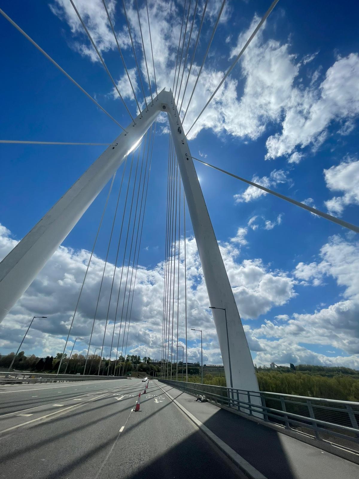
If you are used to committing many manpower hours to inspecting your turbines, bridges or buildings you no longer have to do so. With our UK Civil Aviation Authority (CAA) approved UAVs, we can make sure that you have full knowledge of everything to come using drone UAV's. This lets us know what the issues might be, and thus what you need to do if you wish to turn that around.


UAVs are one of the most useful tools that have been developed in the last two decades to a commercial grade, and that you can have on your side as an asset owner. We can carry out a full structure inspection or simply perform a visual inspection for peace of mind. Either way it means that you can get back up and running in a fraction of the time that it would take if they were still to be taken care of manually.


We know that owning a business can be tough, and that maintaining something important like a wind farm can be tougher still. For more help and information about how to help keep a structure in pristine condition, come and speak to us today.


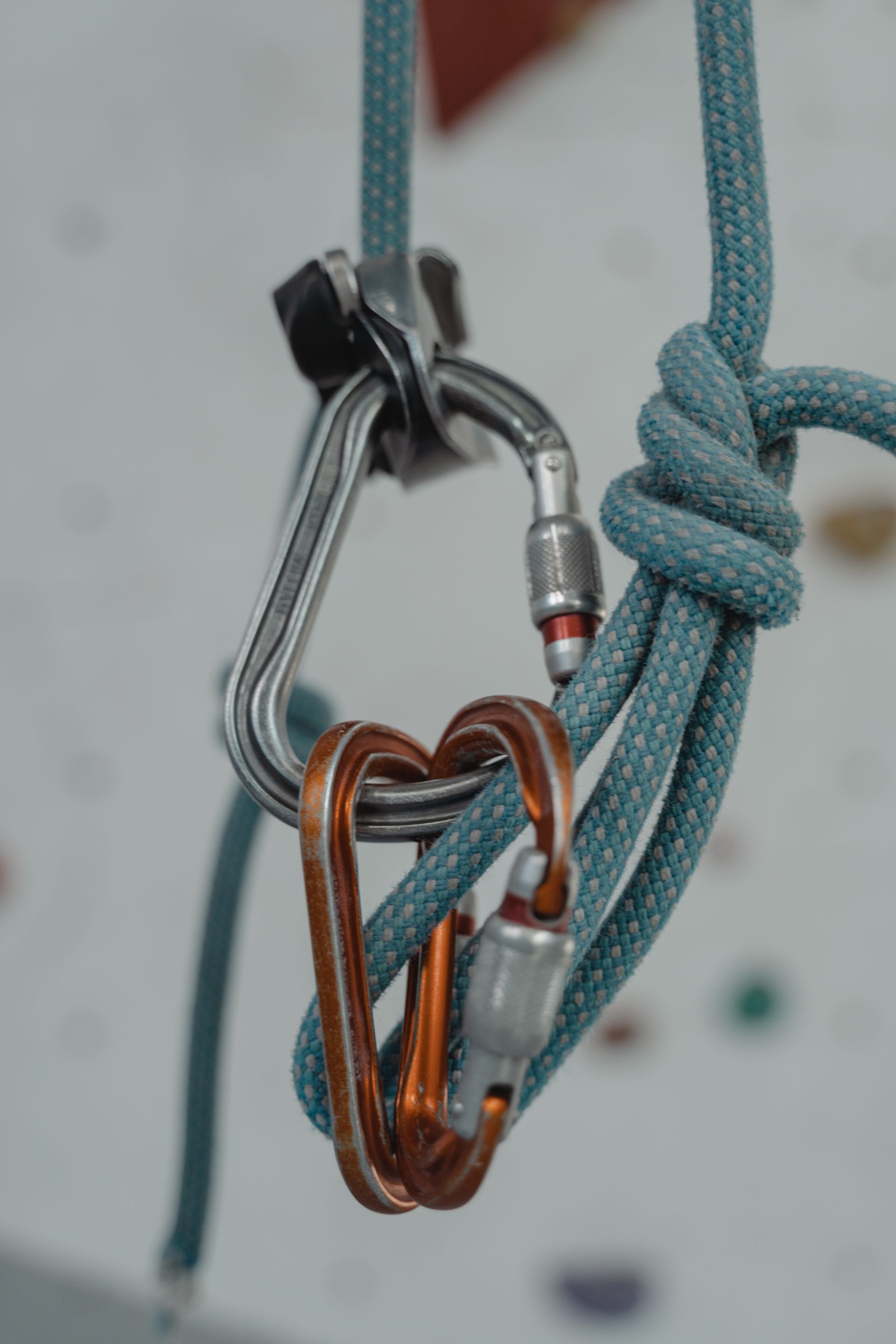
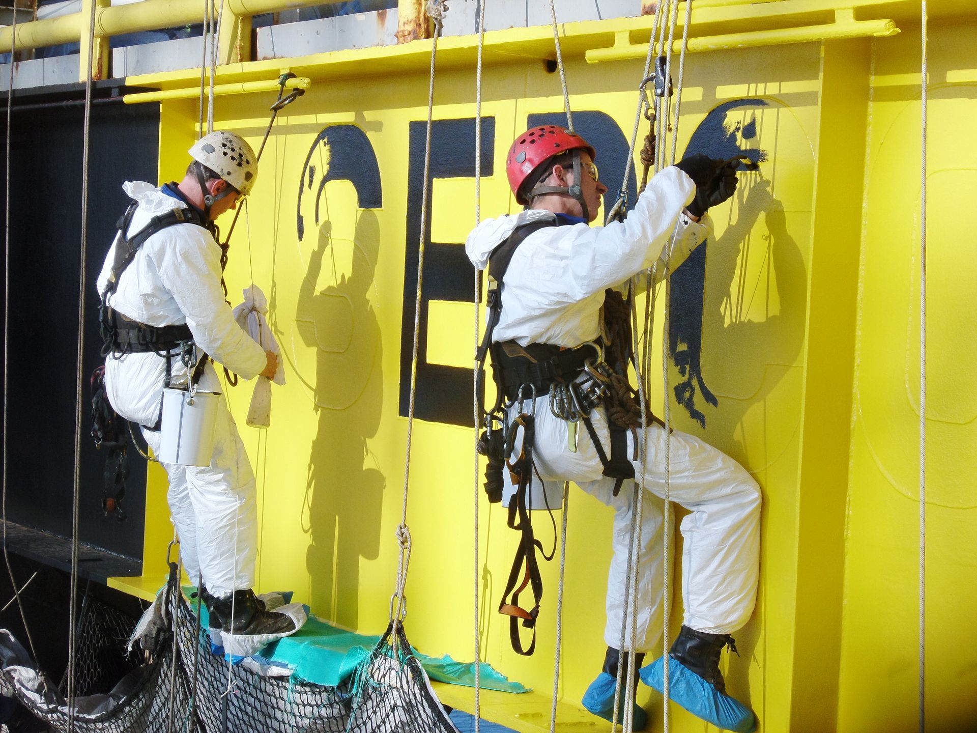
We can ensure that you get all the help that you need to enjoy total confidence and if any problems are found, we can even mobilise a rope access repair solution to solve them ASAP too! 


Drone Inspection Services

Dangle provides drone inspections in Belfast and across Northern Ireland. We inspect roofs, façades, chimneys, industrial structures and renewable energy assets, subject to site permissions.

Receive clear imagery and a practical summary of findings to support maintenance decisions.

Drone UAV

We plan each drone job around safety, site rules and flight requirements. The scope and site plan are agreed before work begins.

If restrictions or conditions prevent a safe flight, we’ll discuss another suitable inspection method.

Drone Mapping Services

Drone mapping and LiDAR capture can support surveys, planning and asset management. Depending on your brief, outputs may include mapped imagery and LiDAR point clouds.

We agree the deliverables and reporting format before work begins.

Professional UAV Building Inspection Services available to mobilise to your work site today.

UAV Drone Inspections

Reduced Labour Costs

  • Drone Blade Inspection
  • UAV Coating Inspection
  • Power Line Inspection
  • Derrick | Mast Inspection
  • UAV Bridge Inspection
Get more details →

Drone Mapping Services

Rapid Deployment

  • Drone 2D | 3D Mapping
  • UAV Infrastructure Surveys 
  • UAV Site Surveys
  • Drone Topographic Mapping
  • UAV Geo - Orthomosaics
Get more details →

Drone Aerial Photography

Safety without Compromise

  • UAV Showcase Properties
  • Drone Marketing & Promotion
  • UAV HD Imagery & Reporting
  • UAV Building Inspection
  • Drone Roof Top Surveys
Get more details →
Explore all Services →

Dangle’s drone team supports inspection work on industrial and renewable energy sites. We operate from Belfast and serve onshore and offshore projects.

Aerial imagery can help assess areas that are difficult to reach. We combine drone and rope access expertise to plan an approach suited to your site.

Got a question about drone inspections in Belfast and Northern Ireland?

Here are the answers to the most common queries we receive.

  • What drone inspection services do you provide in Belfast and Northern Ireland?

    We provide UAV (drone) inspection services across Belfast and Northern Ireland, supporting building, industrial and renewables inspections. Typical work includes high-level visual inspections, aerial photography/video, and condition reporting to help clients plan maintenance safely and efficiently.

  • What types of assets can you inspect with a drone?

    Common inspections include roofs, façades, gutters and chimneys, industrial structures, tower/stacks (where permitted), and renewables assets such as wind turbine components (subject to site rules and access permissions). If you’re unsure, send photos and we’ll advise the best approach.

  • Is a drone inspection safer than working at height?

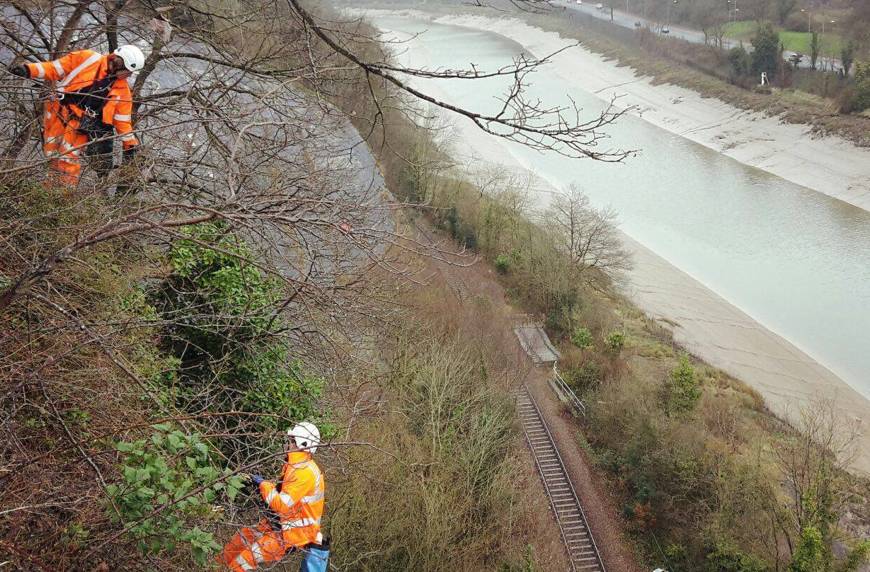
    In many situations, yes. Drones can reduce the need for people to work at height for initial visual surveys, helping to minimise risk and disruption. Where a close-up inspection or repair is required, we can advise on the safest access method next.

  • What deliverables will we receive after the inspection?

    Depending on your requirements, deliverables can include high-resolution photos/video, annotated findings, a clear summary of defects/areas of concern, and recommendations for next steps. We can tailor the reporting format for facilities teams, contractors or insurers.

  • Do you provide drone mapping surveys and LiDAR?

    Yes. We provide drone mapping surveys and LiDAR capture where required, helping clients measure, model and assess sites efficiently. Outputs can include point clouds, site models and mapped imagery depending on your brief. We’ll confirm exactly what deliverables are included before mobilisation.

  • What is LiDAR and when is it useful?

    LiDAR uses laser measurements to create a detailed 3D point cloud of structures or terrain. It’s particularly useful for complex shapes, vegetation-heavy areas, volume calculations, progress monitoring, and accurate dimensional data where standard photography alone isn’t enough.

  • Are you CAA compliant and insured?

    Yes — we operate CAA compliant and are insured for commercial UAV operations. We can provide the relevant documentation as part of the pre-start pack where required.

  • What affects the ability to fly (weather and site conditions)?

    High wind, rain, poor visibility, restricted airspace and site rules can all affect flight operations. We’ll advise on the best time window and, where needed, schedule a backup date to avoid wasted mobilisation.